
Thank you for supporting this site ❤️
Make a donation
Make a donation
Villisca topographic map
Click on the map to display elevation.
Thank you for supporting this site ❤️
Make a donation
Make a donation
About this map
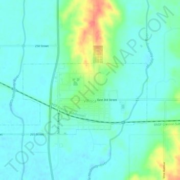
Name: Villisca topographic map, elevation, terrain.
Location: Villisca, Montgomery County, Iowa, United States (40.92246 -95.01010 40.94058 -94.96143)
Average elevation: 322 m
Minimum elevation: 308 m
Maximum elevation: 368 m
Thank you for supporting this site ❤️
Make a donation
Make a donation
Other topographic maps
Click on a map to view its topography, its elevation and its terrain.