
Thank you for supporting this site ❤️
Make a donation
Make a donation
Lombardy Grove topographic map
Click on the map to display elevation.
Thank you for supporting this site ❤️
Make a donation
Make a donation
About this map
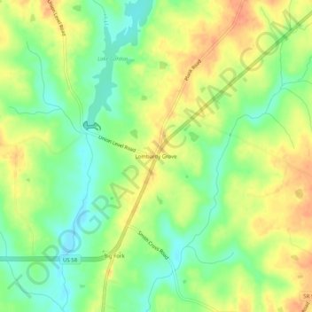
Name: Lombardy Grove topographic map, elevation, terrain.
Location: Lombardy Grove, Mecklenburg County, Virginia, United States (36.66431 -78.22611 36.70431 -78.18611)
Average elevation: 90 m
Minimum elevation: 68 m
Maximum elevation: 112 m
Thank you for supporting this site ❤️
Make a donation
Make a donation
Other topographic maps
Click on a map to view its topography, its elevation and its terrain.