
Warji topographic map
Interactive map
Click on the map to display elevation.
About this map
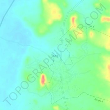
Name: Warji topographic map, elevation, terrain.
Location: Warji, Bauchi, Nigeria (11.16333 9.73000 11.20333 9.77000)
Average elevation: 447 m
Minimum elevation: 429 m
Maximum elevation: 500 m