
Abeokuta topographic map
Click on the map to display elevation.
About this map
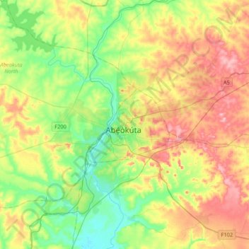
Name: Abeokuta topographic map, elevation, terrain.
Location: Abeokuta, Abeokuta South, Ogun State, 111101, Nigeria (7.00100 3.18800 7.32100 3.50800)
Average elevation: 95 m
Minimum elevation: 13 m
Maximum elevation: 219 m