
Thank you for supporting this site ❤️
Make a donation
Make a donation
Farah topographic map
Click on the map to display elevation.
Thank you for supporting this site ❤️
Make a donation
Make a donation
About this map
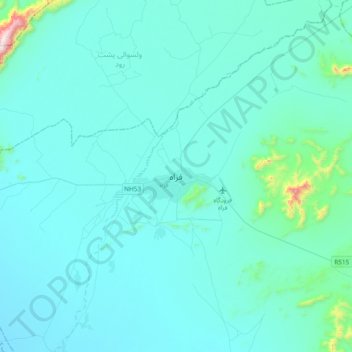
Name: Farah topographic map, elevation, terrain.
Location: Farah, Farah Province, Afghanistan (32.21409 61.95463 32.53409 62.27463)
Average elevation: 697 m
Minimum elevation: 615 m
Maximum elevation: 1,782 m
Thank you for supporting this site ❤️
Make a donation
Make a donation