
Besch topographic map
Interactive map
Click on the map to display elevation.
About this map
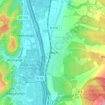
Name: Besch topographic map, elevation, terrain.
Location: Besch, Landkreis Merzig-Wadern, Saarland, Duitsland (49.48429 6.35340 49.52429 6.39340)
Average elevation: 190 m
Minimum elevation: 136 m
Maximum elevation: 338 m