
Thank you for supporting this site ❤️
Make a donation
Make a donation
LaGrange Bayou topographic map
Click on the map to display elevation.
Thank you for supporting this site ❤️
Make a donation
Make a donation
About this map
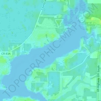
Name: LaGrange Bayou topographic map, elevation, terrain.
Location: LaGrange Bayou, Walton County, Florida, 32439, United States (30.46681 -86.14582 30.46691 -86.14572)
Average elevation: 3 m
Minimum elevation: -3 m
Maximum elevation: 12 m
Thank you for supporting this site ❤️
Make a donation
Make a donation
Other topographic maps
Click on a map to view its topography, its elevation and its terrain.