
Thank you for supporting this site ❤️
Make a donation
Make a donation
Saginaw topographic map
Click on the map to display elevation.
Thank you for supporting this site ❤️
Make a donation
Make a donation
About this map
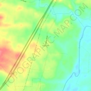
Name: Saginaw topographic map, elevation, terrain.
Location: Saginaw, Hot Spring County, Arkansas, 71941, United States (34.28037 -92.95628 34.32037 -92.91628)
Average elevation: 93 m
Minimum elevation: 61 m
Maximum elevation: 135 m
Thank you for supporting this site ❤️
Make a donation
Make a donation
Other topographic maps
Click on a map to view its topography, its elevation and its terrain.