
Pradel topographic map
Interactive map
Click on the map to display elevation.
About this map
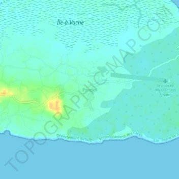
Name: Pradel topographic map, elevation, terrain.
Average elevation: 5 m
Minimum elevation: 0 m
Maximum elevation: 29 m
Other topographic maps
Click on a map to view its topography, its elevation and its terrain.
Île-à-Vache
Haïti > Département du Sud > Commune Île à Vache
Île-à-Vache, Commune Île à Vache, Arrondissement des Cayes, Département du Sud, 8160, Haïti
Average elevation: 2 m