
Thank you for supporting this site ❤️
Make a donation
Make a donation
Isoko topographic map
Click on the map to display elevation.
Thank you for supporting this site ❤️
Make a donation
Make a donation
About this map
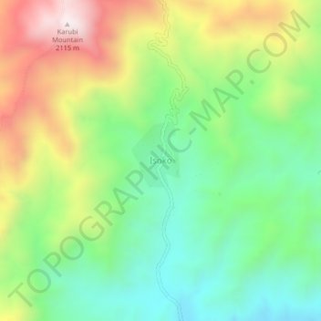
Name: Isoko topographic map, elevation, terrain.
Location: Isoko, Ileje, Songwe Region, Southern Highlands Zone, Tanzania (-9.50100 33.47806 -9.46100 33.51806)
Average elevation: 1,593 m
Minimum elevation: 1,265 m
Maximum elevation: 2,113 m
Thank you for supporting this site ❤️
Make a donation
Make a donation