
Edison Lake topographic map
Click on the map to display elevation.
About this map
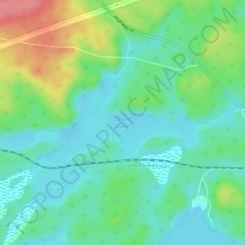
Name: Edison Lake topographic map, elevation, terrain.
Average elevation: 385 m
Minimum elevation: 357 m
Maximum elevation: 451 m
Other topographic maps
Click on a map to view its topography, its elevation and its terrain.
Nungesser Lake
Canada > Ontario > Kenora District > Unorganized Kenora District
Average elevation: 412 m
Sunlight Lake
Canada > Ontario > Kenora District > Unorganized Kenora District
Average elevation: 374 m