
Thank you for supporting this site ❤️
Make a donation
Make a donation
Ribbe Hill topographic map
Click on the map to display elevation.
Thank you for supporting this site ❤️
Make a donation
Make a donation
About this map
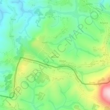
Name: Ribbe Hill topographic map, elevation, terrain.
Location: Ribbe Hill, Ribbe, Zombo, Northern Region, Uganda (2.34195 30.92128 2.34205 30.92138)
Average elevation: 1,759 m
Minimum elevation: 1,653 m
Maximum elevation: 1,933 m
Thank you for supporting this site ❤️
Make a donation
Make a donation