
Thank you for supporting this site ❤️
Make a donation
Make a donation
Great Burdon topographic map
Click on the map to display elevation.
Thank you for supporting this site ❤️
Make a donation
Make a donation
About this map
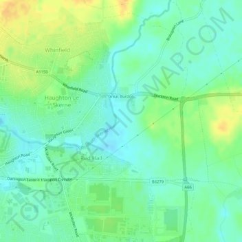
Name: Great Burdon topographic map, elevation, terrain.
Location: Great Burdon, Darlington, Tees Valley, England, United Kingdom (54.52414 -1.51824 54.55393 -1.49475)
Average elevation: 54 m
Minimum elevation: 42 m
Maximum elevation: 72 m
Thank you for supporting this site ❤️
Make a donation
Make a donation
Other topographic maps
Click on a map to view its topography, its elevation and its terrain.