
Thank you for supporting this site ❤️
Make a donation
Make a donation
Börnicke topographic map
Click on the map to display elevation.
Thank you for supporting this site ❤️
Make a donation
Make a donation
Börnicke
Birkenhöhe | Birkholz | Birkholzaue | Börnicke | Ladeburg | Lobetal | Schönow | Waldfrieden
Thank you for supporting this site ❤️
Make a donation
Make a donation
About this map
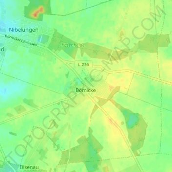
Name: Börnicke topographic map, elevation, terrain.
Location: Börnicke, Bernau, Barnim, Brandenburg, 16321, Deutschland (52.64362 13.61848 52.68362 13.65848)
Average elevation: 85 m
Minimum elevation: 71 m
Maximum elevation: 100 m
Thank you for supporting this site ❤️
Make a donation
Make a donation
Other topographic maps
Click on a map to view its topography, its elevation and its terrain.