
Thank you for supporting this site ❤️
Make a donation
Make a donation
Lone Tree No. 18 topographic map
Click on the map to display elevation.
Thank you for supporting this site ❤️
Make a donation
Make a donation
About this map
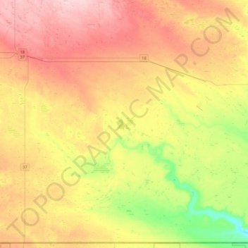
Name: Lone Tree No. 18 topographic map, elevation, terrain.
Location: Lone Tree No. 18, Division No. 4, Saskatchewan, Canada (48.99948 -108.42740 49.26165 -108.00978)
Average elevation: 892 m
Minimum elevation: 798 m
Maximum elevation: 984 m
Thank you for supporting this site ❤️
Make a donation
Make a donation