
Clear Prairie topographic map
Click on the map to display elevation.
About this map
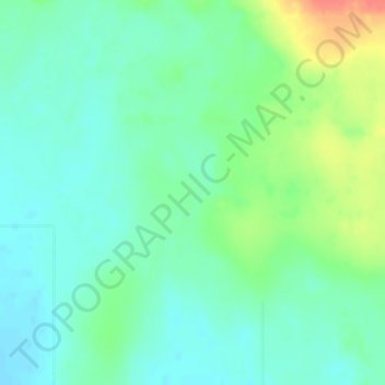
Name: Clear Prairie topographic map, elevation, terrain.
Location: Clear Prairie, Clear Hills County, Alberta, Canada (56.57333 -119.51000 56.59333 -119.49000)
Average elevation: 710 m
Minimum elevation: 694 m
Maximum elevation: 747 m