
Thank you for supporting this site ❤️
Make a donation
Make a donation
Hohe Wurzel topographic map
Click on the map to display elevation.
Thank you for supporting this site ❤️
Make a donation
Make a donation
Hohe Wurzel
Die Hohe Wurzel ist eher ein langgestreckter Höhenzug als ein markanter Berg, neben dem höheren Rösterkopf wirkt sie wie dessen Nordostausläufer. Auffallend ist eine Höchstspannungsfreileitung zwischen den Umspannwerken Uchtelfangen und Niederstedem, die die Hohe Wurzel in einer Waldschneise fast zentral überquert.
Thank you for supporting this site ❤️
Make a donation
Make a donation
About this map
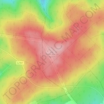
Name: Hohe Wurzel topographic map, elevation, terrain.
Average elevation: 612 m
Minimum elevation: 508 m
Maximum elevation: 674 m
Thank you for supporting this site ❤️
Make a donation
Make a donation