
Thank you for supporting this site ❤️
Make a donation
Make a donation
Tremont topographic map
Click on the map to display elevation.
Thank you for supporting this site ❤️
Make a donation
Make a donation
About this map
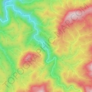
Name: Tremont topographic map, elevation, terrain.
Location: Tremont, Blount County, Tennessee, United States (35.61971 -83.70831 35.65971 -83.66831)
Average elevation: 581 m
Minimum elevation: 351 m
Maximum elevation: 800 m
Thank you for supporting this site ❤️
Make a donation
Make a donation
Other topographic maps
Click on a map to view its topography, its elevation and its terrain.