
Bhima topographic map
Click on the map to display elevation.
About this map
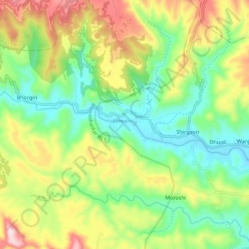
Name: Bhima topographic map, elevation, terrain.
Location: Bhima, Bhorgiri, Khed, Pune District, Maharashtra, India (19.02361 73.55813 19.04535 73.64520)
Average elevation: 817 m
Minimum elevation: 646 m
Maximum elevation: 1,094 m