
Thank you for supporting this site ❤️
Make a donation
Make a donation
Bolagad topographic map
Click on the map to display elevation.
Thank you for supporting this site ❤️
Make a donation
Make a donation
About this map
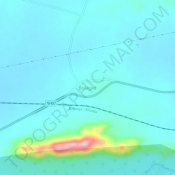
Name: Bolagad topographic map, elevation, terrain.
Location: Bolagad, Khordha, Odisha, 752066, India (20.15223 85.25335 20.19223 85.29335)
Average elevation: 93 m
Minimum elevation: 68 m
Maximum elevation: 278 m
Thank you for supporting this site ❤️
Make a donation
Make a donation
Other topographic maps
Click on a map to view its topography, its elevation and its terrain.