
Thank you for supporting this site ❤️
Make a donation
Make a donation
Saline County topographic map
Click on the map to display elevation.
Thank you for supporting this site ❤️
Make a donation
Make a donation
About this map
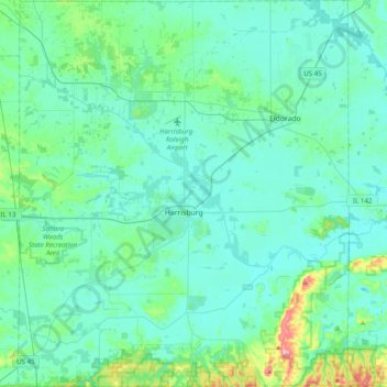
Name: Saline County topographic map, elevation, terrain.
Location: Saline County, Illinois, United States (37.59875 -88.70855 37.90781 -88.37351)
Average elevation: 128 m
Minimum elevation: 101 m
Maximum elevation: 302 m
Thank you for supporting this site ❤️
Make a donation
Make a donation
Other topographic maps
Click on a map to view its topography, its elevation and its terrain.