
Thank you for supporting this site ❤️
Make a donation
Make a donation
Warren County topographic map
Click on the map to display elevation.
Thank you for supporting this site ❤️
Make a donation
Make a donation
About this map
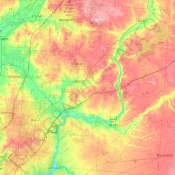
Name: Warren County topographic map, elevation, terrain.
Location: Warren County, Ohio, United States (39.25507 -84.36523 39.58947 -83.97691)
Average elevation: 258 m
Minimum elevation: 174 m
Maximum elevation: 331 m
Thank you for supporting this site ❤️
Make a donation
Make a donation
Other topographic maps
Click on a map to view its topography, its elevation and its terrain.