
Guaviare topographic map
Interactive map
Click on the map to display elevation.
About this map
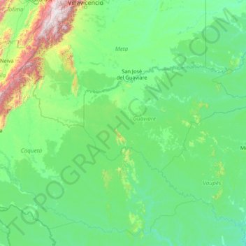
Name: Guaviare topographic map, elevation, terrain.
Location: Guaviare, Colombia (-0.87056 -75.38029 4.24944 -70.26029)
Average elevation: 342 m
Minimum elevation: 85 m
Maximum elevation: 4,082 m