
Cantón San Carlos topographic map
Interactive map
Click on the map to display elevation.
About this map
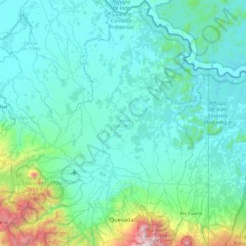
Name: Cantón San Carlos topographic map, elevation, terrain.
Location: Cantón San Carlos, Provincia de Alajuela, 210, Costa Rica (10.24494 -84.86286 10.99583 -84.16114)
Average elevation: 261 m
Minimum elevation: 12 m
Maximum elevation: 2,282 m