
Thank you for supporting this site ❤️
Make a donation
Make a donation
Nebelin topographic map
Click on the map to display elevation.
Thank you for supporting this site ❤️
Make a donation
Make a donation
About this map
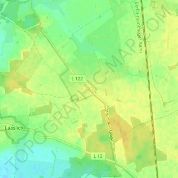
Name: Nebelin topographic map, elevation, terrain.
Location: Nebelin, Karstädt, Prignitz, Brandenburg, 19357, Deutschland (53.08819 11.70396 53.12819 11.74396)
Average elevation: 31 m
Minimum elevation: 19 m
Maximum elevation: 40 m
Thank you for supporting this site ❤️
Make a donation
Make a donation
Other topographic maps
Click on a map to view its topography, its elevation and its terrain.