
Johnson City topographic map
Click on the map to display elevation.
About this map
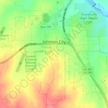
Name: Johnson City topographic map, elevation, terrain.
Location: Johnson City, Blanco County, Texas, 78636, United States (30.25946 -98.42619 30.28805 -98.39101)
Average elevation: 375 m
Minimum elevation: 336 m
Maximum elevation: 412 m