
Thank you for supporting this site ❤️
Make a donation
Make a donation
Laguna de Montebello topographic map
Click on the map to display elevation.
Thank you for supporting this site ❤️
Make a donation
Make a donation
About this map
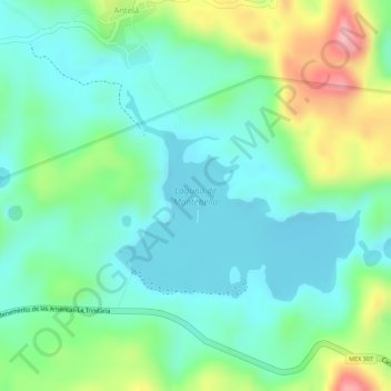
Name: Laguna de Montebello topographic map, elevation, terrain.
Location: Laguna de Montebello, Antelá, La Trinitaria, Chiapas, Mexico (16.10454 -91.70700 16.11913 -91.68962)
Average elevation: 1,533 m
Minimum elevation: 1,484 m
Maximum elevation: 1,640 m
Thank you for supporting this site ❤️
Make a donation
Make a donation