
Sangla topographic map
Click on the map to display elevation.
About this map
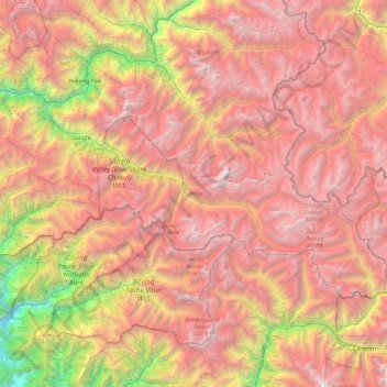
Name: Sangla topographic map, elevation, terrain.
Location: Sangla, Kinnaur, Himachal Pradesh, India (31.09756 78.08815 31.52565 79.01238)
Average elevation: 4,250 m
Minimum elevation: 1,421 m
Maximum elevation: 6,623 m