
Colerne topographic map
Click on the map to display elevation.
Colerne
The name Colerne appears in the Domesday Book of 1086. Other early spellings include Culerna, Culerne, Cullerne, Collern. Various interpretations of the name have been proposed. Gover, Mawer and Stenton, in The Place Names of Wiltshire, cite a form aern meaning "house", and suggest that "col-aern might well denote a house where charcoal was made, used or stored." Alternatively, the altitude of the village suggests that the first syllable may be from the Welsh or Cornish word col, "peak"; this would mean the "dwelling on the peak". Another possibility is that it could mean "cold dwelling", from the Anglo-Saxon cald.
About this map
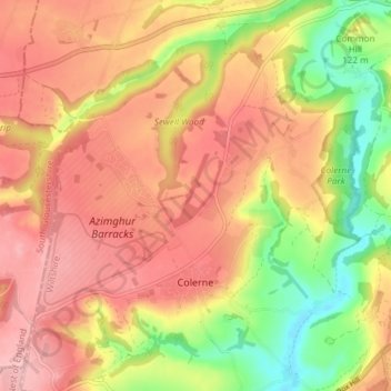
Name: Colerne topographic map, elevation, terrain.
Location: Colerne, Wiltshire, England, United Kingdom (51.42625 -2.29535 51.47250 -2.22688)
Average elevation: 127 m
Minimum elevation: 35 m
Maximum elevation: 193 m