
Sobral topographic map
Interactive map
Click on the map to display elevation.
About this map
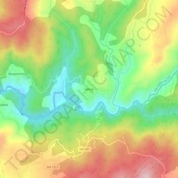
Name: Sobral topographic map, elevation, terrain.
Location: Sobral, Pinho, São Pedro do Sul, Viseu, Portugal (40.74629 -8.00253 40.78629 -7.96253)
Average elevation: 392 m
Minimum elevation: 235 m
Maximum elevation: 579 m