
Thank you for supporting this site ❤️
Make a donation
Make a donation
John Island topographic map
Click on the map to display elevation.
Thank you for supporting this site ❤️
Make a donation
Make a donation
About this map
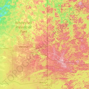
Name: John Island topographic map, elevation, terrain.
Location: John Island, Unorganized Division No. 1, Manitoba, Canada (49.57832 -95.50482 50.21832 -94.86482)
Average elevation: 335 m
Minimum elevation: 272 m
Maximum elevation: 415 m
Thank you for supporting this site ❤️
Make a donation
Make a donation