
Thank you for supporting this site ❤️
Make a donation
Make a donation
Gerih topographic map
Click on the map to display elevation.
Thank you for supporting this site ❤️
Make a donation
Make a donation
About this map
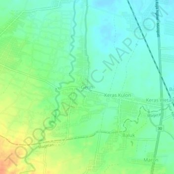
Name: Gerih topographic map, elevation, terrain.
Location: Gerih, Ngawi, East Java, Java, 63395, Indonesia (-7.54617 111.39300 -7.50617 111.43300)
Average elevation: 70 m
Minimum elevation: 56 m
Maximum elevation: 93 m
Thank you for supporting this site ❤️
Make a donation
Make a donation