
Thank you for supporting this site ❤️
Make a donation
Make a donation
Abuki topographic map
Click on the map to display elevation.
Thank you for supporting this site ❤️
Make a donation
Make a donation
About this map
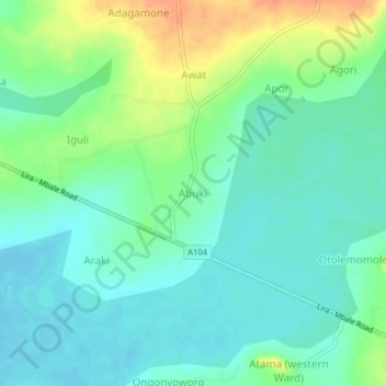
Name: Abuki topographic map, elevation, terrain.
Location: Abuki, Dokolo, Northern Region, Uganda (1.91670 33.12045 1.95670 33.16045)
Average elevation: 1,058 m
Minimum elevation: 1,044 m
Maximum elevation: 1,086 m
Thank you for supporting this site ❤️
Make a donation
Make a donation