
Thank you for supporting this site ❤️
Make a donation
Make a donation
Einsiedel topographic map
Click on the map to display elevation.
Thank you for supporting this site ❤️
Make a donation
Make a donation
About this map
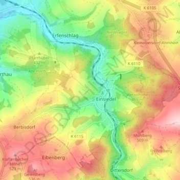
Name: Einsiedel topographic map, elevation, terrain.
Location: Einsiedel, Chemnitz, Saxony, Germany (50.75029 12.92703 50.79300 13.00491)
Average elevation: 430 m
Minimum elevation: 317 m
Maximum elevation: 550 m
Thank you for supporting this site ❤️
Make a donation
Make a donation