
Thank you for supporting this site ❤️
Make a donation
Make a donation
Vallsnäs topographic map
Click on the map to display elevation.
Thank you for supporting this site ❤️
Make a donation
Make a donation
About this map
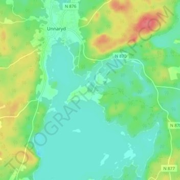
Name: Vallsnäs topographic map, elevation, terrain.
Location: Vallsnäs, Hylte kommun, Provinz Halland, 31451, Schweden (56.92088 13.52213 56.96088 13.56213)
Average elevation: 157 m
Minimum elevation: 137 m
Maximum elevation: 198 m
Thank you for supporting this site ❤️
Make a donation
Make a donation