
Thank you for supporting this site ❤️
Make a donation
Make a donation
Wheeling topographic map
Click on the map to display elevation.
Thank you for supporting this site ❤️
Make a donation
Make a donation
About this map
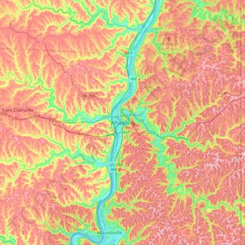
Name: Wheeling topographic map, elevation, terrain.
Location: Wheeling, Ohio County, West Virginia, 26003, United States (39.90396 -80.88091 40.22396 -80.56091)
Average elevation: 326 m
Minimum elevation: 187 m
Maximum elevation: 436 m
Thank you for supporting this site ❤️
Make a donation
Make a donation