
Thank you for supporting this site ❤️
Make a donation
Make a donation
Gröpelingen topographic map
Click on the map to display elevation.
Thank you for supporting this site ❤️
Make a donation
Make a donation
About this map
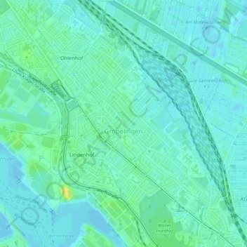
Name: Gröpelingen topographic map, elevation, terrain.
Location: Gröpelingen, Bremen-West, Bremen, Deutschland (53.10910 8.75884 53.12587 8.77976)
Average elevation: 6 m
Minimum elevation: -1 m
Maximum elevation: 21 m
Thank you for supporting this site ❤️
Make a donation
Make a donation
Other topographic maps
Click on a map to view its topography, its elevation and its terrain.