
Thank you for supporting this site ❤️
Make a donation
Make a donation
Ermine topographic map
Click on the map to display elevation.
Thank you for supporting this site ❤️
Make a donation
Make a donation
About this map
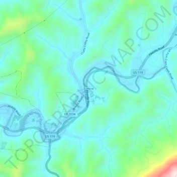
Name: Ermine topographic map, elevation, terrain.
Location: Ermine, Letcher County, Kentucky, 41837, United States (37.10121 -82.81210 37.14121 -82.77210)
Average elevation: 447 m
Minimum elevation: 349 m
Maximum elevation: 882 m
Thank you for supporting this site ❤️
Make a donation
Make a donation