
Strivay topographic map
Interactive map
Click on the map to display elevation.
About this map
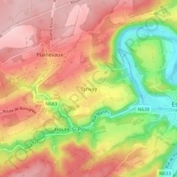
Name: Strivay topographic map, elevation, terrain.
Location: Strivay, Neupré, Liège, Wallonie, 4120, Belgique (50.51708 5.51543 50.55708 5.55543)
Average elevation: 187 m
Minimum elevation: 75 m
Maximum elevation: 271 m