
Kami topographic map
Interactive map
Click on the map to display elevation.
About this map
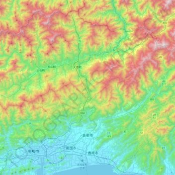
Name: Kami topographic map, elevation, terrain.
Location: Kami, Préfecture de Kōchi, 782-0009, Japon (33.57968 133.59669 33.84086 134.06843)
Average elevation: 523 m
Minimum elevation: -3 m
Maximum elevation: 1,597 m