
Thank you for supporting this site ❤️
Make a donation
Make a donation
Amaeke Abam topographic map
Click on the map to display elevation.
Thank you for supporting this site ❤️
Make a donation
Make a donation
About this map
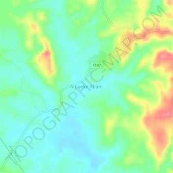
Name: Amaeke Abam topographic map, elevation, terrain.
Location: Amaeke Abam, Arochukwu, Abia State, Nigeria (5.56333 7.64667 5.60333 7.68667)
Average elevation: 78 m
Minimum elevation: 50 m
Maximum elevation: 136 m
Thank you for supporting this site ❤️
Make a donation
Make a donation