
Thank you for supporting this site ❤️
Make a donation
Make a donation
Bear Lodge Butte topographic map
Click on the map to display elevation.
Thank you for supporting this site ❤️
Make a donation
Make a donation
About this map
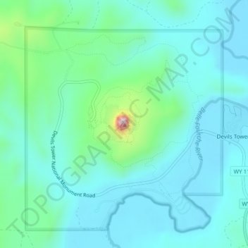
Name: Bear Lodge Butte topographic map, elevation, terrain.
Location: Bear Lodge Butte, Crook County, Wyoming, United States (44.58928 -104.71676 44.59192 -104.71367)
Average elevation: 1,236 m
Minimum elevation: 1,170 m
Maximum elevation: 1,547 m
Thank you for supporting this site ❤️
Make a donation
Make a donation
Other topographic maps
Click on a map to view its topography, its elevation and its terrain.