
Ourense topographic map
Interactive map
Click on the map to display elevation.
About this map
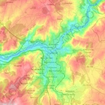
Name: Ourense topographic map, elevation, terrain.
Location: Ourense, Galicia, España (42.28951 -8.00350 42.39830 -7.80595)
Average elevation: 322 m
Minimum elevation: 87 m
Maximum elevation: 581 m