
San Nicolás topographic map
Interactive map
Click on the map to display elevation.
About this map
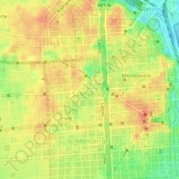
Name: San Nicolás topographic map, elevation, terrain.
Location: San Nicolás, CABA, Argentina (-34.60926 -58.39292 -34.59826 -58.36780)
Average elevation: 31 m
Minimum elevation: 2 m
Maximum elevation: 48 m
Other topographic maps
Click on a map to view its topography, its elevation and its terrain.
Parque Centenario
Parque Centenario, Comuna 6, Caballito, CABA, C1405DJR, Argentina
Average elevation: 24 m