
Thank you for supporting this site ❤️
Make a donation
Make a donation
Gyellesu topographic map
Click on the map to display elevation.
Thank you for supporting this site ❤️
Make a donation
Make a donation
About this map
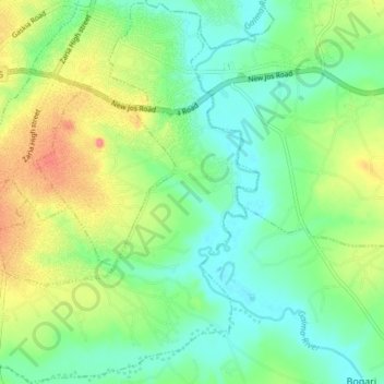
Name: Gyellesu topographic map, elevation, terrain.
Location: Gyellesu, Zaria, Kaduna State, Nigeria (11.02034 7.67528 11.09315 7.75004)
Average elevation: 631 m
Minimum elevation: 607 m
Maximum elevation: 672 m
Thank you for supporting this site ❤️
Make a donation
Make a donation