
Radha Kund topographic map
Interactive map
Click on the map to display elevation.
About this map
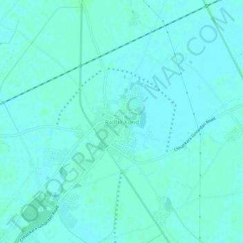
Name: Radha Kund topographic map, elevation, terrain.
Location: Radha Kund, Mathura, Uttar Pradesh, 281502, India (27.50451 77.47058 27.54451 77.51058)
Average elevation: 181 m
Minimum elevation: 179 m
Maximum elevation: 184 m