
Thank you for supporting this site ❤️
Make a donation
Make a donation
The Sands topographic map
Click on the map to display elevation.
Thank you for supporting this site ❤️
Make a donation
Make a donation
About this map
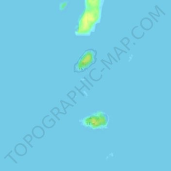
Name: The Sands topographic map, elevation, terrain.
Location: The Sands, Addison, Washington County, Maine, United States (44.46597 -67.67678 44.46978 -67.67388)
Average elevation: 0 m
Minimum elevation: -1 m
Maximum elevation: 17 m
Thank you for supporting this site ❤️
Make a donation
Make a donation