
Thank you for supporting this site ❤️
Make a donation
Make a donation
Nkonge topographic map
Click on the map to display elevation.
Thank you for supporting this site ❤️
Make a donation
Make a donation
About this map
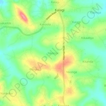
Name: Nkonge topographic map, elevation, terrain.
Location: Nkonge, Mukono, Central Region, Uganda (0.46754 32.72707 0.50754 32.76707)
Average elevation: 1,166 m
Minimum elevation: 1,126 m
Maximum elevation: 1,224 m
Thank you for supporting this site ❤️
Make a donation
Make a donation