
Thank you for supporting this site ❤️
Make a donation
Make a donation
Menominee River topographic map
Click on the map to display elevation.
Thank you for supporting this site ❤️
Make a donation
Make a donation
About this map
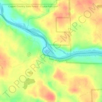
Name: Menominee River topographic map, elevation, terrain.
Location: Menominee River, Iron County, Michigan, 52121, USA (45.92127 -88.12535 45.92441 -88.12334)
Average elevation: 366 m
Minimum elevation: 335 m
Maximum elevation: 388 m
Thank you for supporting this site ❤️
Make a donation
Make a donation
Other topographic maps
Click on a map to view its topography, its elevation and its terrain.