
Thank you for supporting this site ❤️
Make a donation
Make a donation
Bungah topographic map
Click on the map to display elevation.
Thank you for supporting this site ❤️
Make a donation
Make a donation
About this map
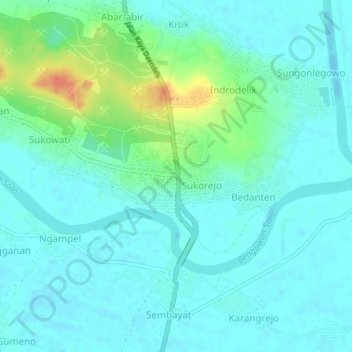
Name: Bungah topographic map, elevation, terrain.
Location: Bungah, Gresik, East Java, Java, Indonesia (-7.07291 112.55595 -7.03291 112.59595)
Average elevation: 10 m
Minimum elevation: -2 m
Maximum elevation: 46 m
Thank you for supporting this site ❤️
Make a donation
Make a donation